Here Comes Irene Again
As depression Irene approaches Madeira, authorities have issued storm warnings to ensure public safety. Irene also evokes horrible memories of the 2011 cyclone Irene that caused devastating destruction in the US and the Caribbean. However, there's no need to be overly concerned this time. Here's what you need to know.
TAP Portugal Cancels Flights
Flights to and from Madeira are likely going to be impacted. Flights on their way to Madeira are already heading back to the mainland due to winds. TAP Portugal just announced that it canceled every flight to and from Madeira for tomorrow. If you are expecting a visit or if you are scheduled to travel: check your flight before heading to the airport.
Heavy Winds and Large Waves
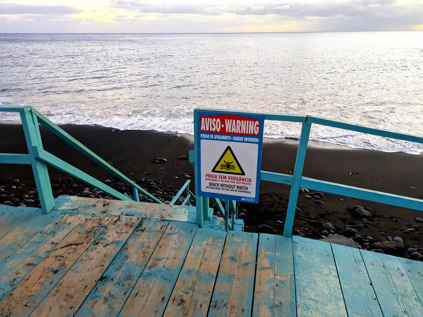
Winds are expected to be heavy in the southern part of the island and in higher regions where a max wind speed of 100 to 120km/h is to be expected. As for the oceanside, waves of up to 5.5 meters are reported for tomorrow. Stay clear of the oceanside and beaches.
All Hiking Trails Are Closed
Thinking about going for a hike or checking out yet-unknown Levadas? Don’t! Officials recently announced that all trails are closed as long as the weather alerts are in place. Sit back, relax, do not put yourself or others at risk and follow the current restrictions in place.
Rainfall Will Be There Shortly
The weather conditions are likely going to worsen from midnight, the orange warning is set to last until tomorrow midday and is extended for higher regions. Make yourself a cozy day tomorrow, stay at home if you can, and for all those who need to go to work: stay safe and good night!
Good Night, Irene!


Comments