
Heavy Rain and Strong Winds Expected
Another weather alert has been issued due to expected heavy rain and strong winds in the coming days. According to forecasts, rain showers will occur during the night and early morning, varying from light to moderate intensity. Starting from the morning of Wednesday, March 12, winds will intensify (40-60 km/h).
Strong Winds to Be Expected
The strongest winds are expected between Wednesday evening and Thursday afternoon, reaching 80-90 km/h along coastal areas exposed to westerly winds, particularly affecting Porto Moniz, São Vicente, and Santana. In mountainous regions such as Pico do Arieiro and Paul da Serra, wind speeds may reach up to 120 km/h.
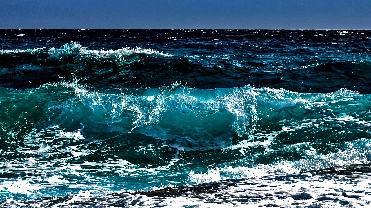
High Waves to Affect Coastal Areas
The stormy weather will also impact sea conditions. On Wednesday, waves in the northern coastal areas, including Porto Moniz and São Vicente, are expected to range from 2 to 3 meters, increasing to 4 to 5 meters later in the day. The southern coast, affecting areas between Funchal and Calheta, will see waves of 1 to 2 meters, increasing gradually to 2 to 3 meters. In the western part of Madeira, particularly Ponta do Pargo, waves could reach 3 to 4 meters by the end of the day.
Care for a share?


Comments